|
|
|
|
Activities at Manatee Springs Cave System, Chiefland, FLMapping continues with the use of rebreathers and scooters into the side passages. Divers continue gathering survey information and notes on the cave system and creatures encountered during the dives. Line maintenance in this high-flow system is a continuing concern. On a recent dive we encountered and fixed five breaks in the line.
Marc Singer and David Rhea have started exploration and survey in the Spring Tunnel beyond 8000 feet. Brett Hemphill and Marc Singer continued work in the Spring Tunnel on an eight hour bottom time and twelve hour total dive time.
Mike Poucher and Andrew Pitkin continue survey in the Sewer Tunnel
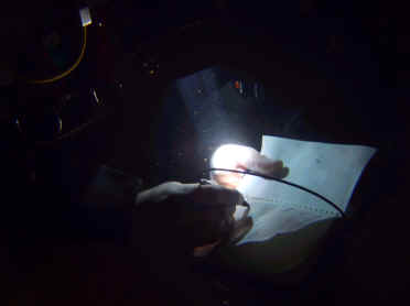
Photo by Andrew Pitkin
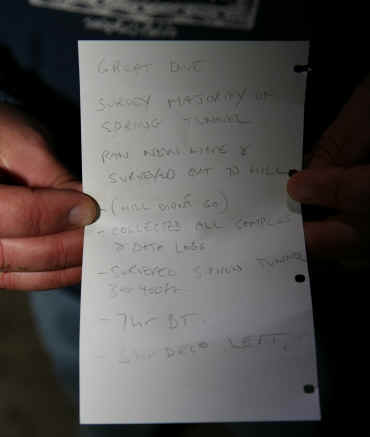
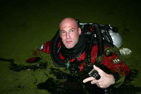
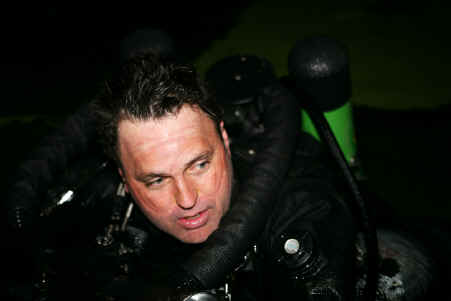
Notes on a successful dive Marc Singer getting ready for the Spring Tunnel; 7 hours of bottom time and 5 hours of deco! Brett Hemphill after twelve hours in the water! Cindy Butler, Scott Cox, John Mosely, Al Heck, Brett Hemphill, James Hurley, Annette Long, Mark Long, Dean Marshall, Doug Mudry, Walter Pickel, Andrew Pitkin, Michael Poucher, Sandra Poucher, Buford Pruitt, Marc Singer, David Rhea, Joel Clark, Jacki Clark. Special thanks to Mark and Annette Long for coordinating our efforts with the park, to Brian Pease for showing us how to operate the cave radio, and to Bill Stone, John Zumrick and the USDCT for the use of their cave radio equipment.
Copyright © 2001-2025 |